Harshya Corridor Intelligence

NH-44 Jammu–Srinagar Highway: Strategic Engineering & Real-Time Corridor Analysis

Operational field assessment of the 247–250 km Trans-Pir Panjal four-lane corridor, four-laning tunnel bypasses, seasonal convoy schedules, and active geological bottlenecks.

J&K Traffic Control Unit Network
Live Dispatch Verification Cycle

🏗️ Four-Laning Engineering Bypasses (Completed)

  • T-5 Tunnel & Marog Viaduct (880 m): Completely bypasses the historically notorious Panthial shooting-stone chute, which previously caused up to 80% of winter road blockades in Ramban district.
  • Nav-Yuga Qazigund Tunnel (8.45 km): Twin-tube tunnel constructed at 1,790 m altitude. Bypasses the 2,194 m snowbound Jawahar Tunnel, eliminating treacherous 40-minute hairpin climbs across the Pir Panjal ridge.
  • Dr. Syama Prasad Mookerjee Tunnel (Chenani–Nashri, 9.28 km): India's longest bidirectional highway tunnel, bypassing 31 km of landslide-prone switchbacks across the Patnitop pass.

⚠️ Critical Geological Sinking Zones (Drive With Caution)

  • Dalwas Sinking Zone (Chanderkote): Active soil subsidence area prone to deep mud slush during prolonged precipitation; single-lane traffic throttles occur here during clearance.
  • Cafeteria Morh & Mehar (Ramban bypass): Unstabilized sedimentary shale cliffs where shooting stones can occur during sudden downpours. NHAI deployed protective steel netting.
  • Tragbal (Gurez route) & Pir Ki Gali (Mughal Road): High-altitude icing zones requiring anti-skid steel chains during late October through early April.
🕒 Enforced Checkpoint Cut-Off Windows (Daily Regulated Convoys)
Up-Convoy (Jammu ➔ Srinagar):
• LMVs release window at Nagrota Checkpoint: 05:00 AM – 11:00 AM
• Jakheni (Udhampur) Cut-off: 12:00 PM Sharp (Vehicles arriving later are halted).
Down-Convoy (Srinagar ➔ Jammu):
• LMVs release window at Qazigund Toll Post: 06:00 AM – 11:30 AM
• Banihal South Portal Cut-off: 12:30 PM Sharp before HMV clearance begins.
Editorial Desk: Harshya Transportation & Civil Engineering Research Group Primary Sources: NHAI Project Implementation Unit (Ramban), J&K Traffic Police Headquarters, IMD Meteorological Centre Srinagar
📋 Official Route Advisory & Verification Directory • J&K Traffic Police Helplines

NH-44 Highway Route Status, Convoy Rules & Official Helplines

Comprehensive traveler guide for NH-44 (Jammu-Srinagar), Mughal Road, Sinthan Top, and Zojila Pass. High-altitude mountain routes are prone to sudden closures due to landslides and weather. Always verify road clearance directly via the official Traffic Control Units (TCU) before traveling.

📞 Official TCU Helplines ↓ ⚠️ View Landslide Hotspots ↓
📋 Regulated Mountain Corridor 270 km

NH-44: Jammu ↔ Srinagar Highway

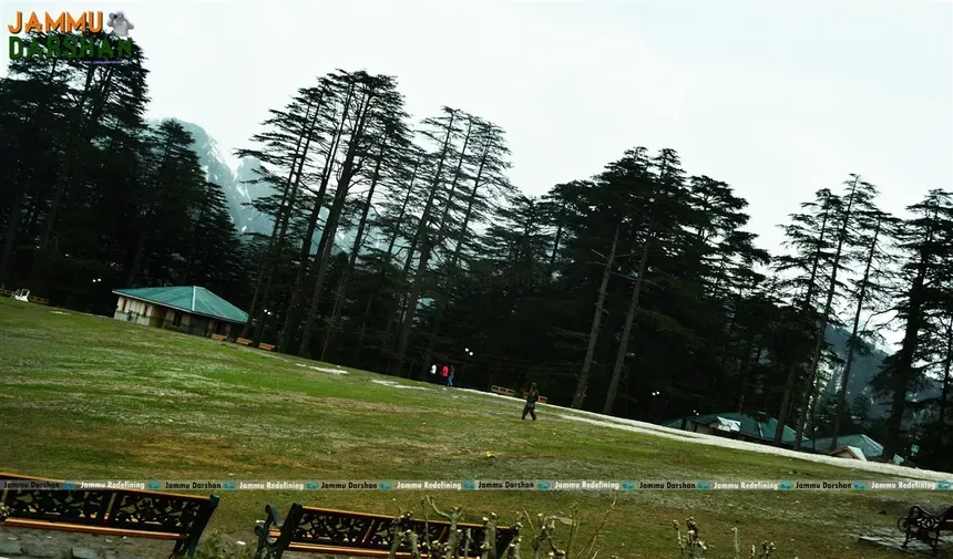
Patnitop & Sanasar Cedar Meadows 📷 Patnitop & Sanasar Cedar Meadows
Popular hill resort in Jammu region surrounded by dense deodar pine forests.
Via Udhampur • Chenani Tunnel • Ramban • Banihal Tunnel • Qazigund
Convoy Regulation: Alternating one-way convoys regulated daily by J&K Traffic Police based on road clearance in the Ramban-Banihal landslide belt. LMVs released during morning slots at Nagrota (Jammu) and Qazigund (Kashmir). HMVs follow post-clearance.
Verification: Confirm today's convoy direction & clearance with TCR Ramban before reaching Nagrota/Jakheni.
TCR Ramban: 94199-93745
🌲 Seasonal High Pass (11,400 ft) 84 km

Mughal Road: Poonch/Rajouri ↔ Shopian
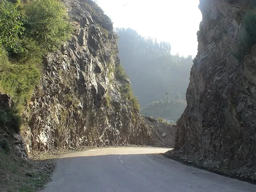
NH-44 Strategic Mountain Highway 📷 Mughal Road Alpine Gorge & Bafliaz Ascent
Vital all-weather corridor connecting Jammu and Srinagar through high tunnels.
Via Bafliaz • Pir Ki Gali Pass (11,400 ft) • Heerpora • Shopian
Operating Guidelines: Operational during summer & autumn for LMVs and commercial fruit trucks. Subject to early morning frost, dense fog, and winter snow closures at Pir Ki Gali summit.
Verification: Confirm pass clearance with TCR Shopian or TCR Rajouri before departure.
TCR Shopian: 01933-261224
🏔️ High Alpine Pass (12,500 ft) 12,500 ft

Sinthan Pass: Kishtwar ↔ Anantnag (NH-244)
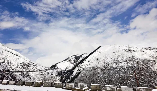
NH-44 Strategic Mountain Highway 📷 Sinthan Pass High Alpine Ridge (NH-244)
Vital all-weather corridor connecting Jammu and Srinagar through high tunnels.
Via Chingam • Sinthan Meadow • Daksum • Kokernag
Operating Guidelines: Open during fair weather months for LMVs and 4x4 vehicles from 07:00 AM to 05:00 PM. Night travel strictly restricted due to rapid high-altitude weather changes.
Verification: Call TCR Kishtwar or TCR Anantnag before driving up.
TCR Kishtwar: 01995-259555
❄️ Strategic High Pass (11,575 ft) 11,575 ft

Zojila Pass: Srinagar ↔ Sonamarg ↔ Kargil ↔ Leh
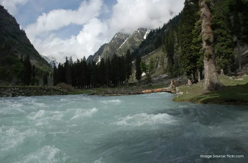
Sonamarg Meadow of Gold & Sindh Rapids 📷 Sonamarg Meadow of Gold & Sindh Rapids
Gateway to Ladakh, glacial streams, and high alpine hiking trails.
Via Gagangir • Baltal • Zojila Summit • Gumri • Drass
Operating Guidelines: One-way regulated convoy traffic between Sonamarg (Kashmir) and Drass (Ladakh). Subject to heavy snow, icy tarmac, and seasonal winter closure by BRO.
Verification: Contact TCR Kargil or Sonamarg Traffic Police before crossing Gagangir.
TCR Kargil: 01985-232275
🏕️ Border High Pass (11,672 ft) 11,672 ft

Razdan Pass: Bandipora ↔ Gurez Valley
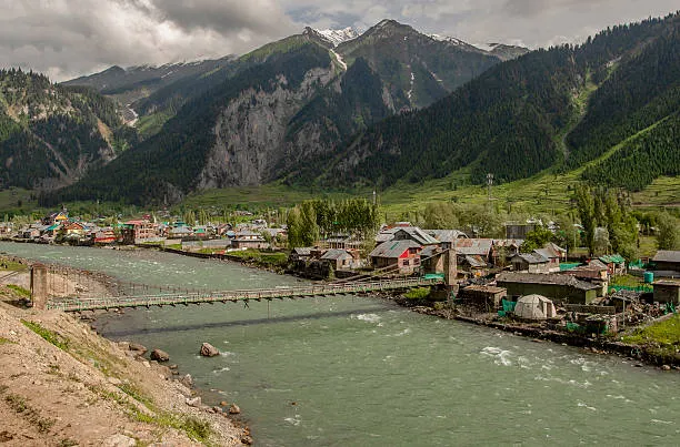
Gurez Valley & Kishanganga River 📷 Gurez Valley & Kishanganga River
Pristine border valley with Dardic Shina culture beneath Habba Khatoon peak.
Via Tragbal • Razdan Top Summit • Kanzalwan • Dawar
Operating Guidelines: Regular daylight travel permitted for Indian citizens with valid photo identification. Subject to snow conditions at Razdan summit; cut-off at Tragbal is typically 04:30 PM.
Verification: Confirm daily clearance with TCR Bandipora.
TCR Bandipora: 01957-225278
🌲 Interstate Mountain Pass (10,170 ft) 10,170 ft

Padri Pass: Bhaderwah (Doda) ↔ Chamba (HP)
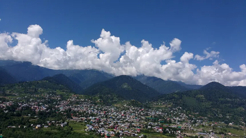
Bhaderwah Valley Bowl 📷 Bhaderwah Valley Bowl
Known as Mini Switzerland of Jammu for its verdant meadows and trout streams.
Via Gupt Ganga • Padri Meadow Summit • Langera • Chamba
Operating Guidelines: Connects Bhaderwah (Doda, J&K) with Chamba (Himachal Pradesh). Scenic high-altitude meadow route operational during fair weather.
Verification: Confirm route status with TCR Doda or Bhaderwah Police.
TCR Doda: 01996-233530
Interactive Corridor Tool

J&K Mountain Corridor Distance, Toll & Convoy Calculator

Calculate exact road trip mileage, driving duration factoring in mountain gradient, NHAI electronic toll plaza tariffs, and mandatory police checkpoint cut-off times.

ROAD TRIP PLANNING & DISTANCE GUIDE

Delhi to Ladakh Road Trip Routes, Driving Distances & Circuit Matrix
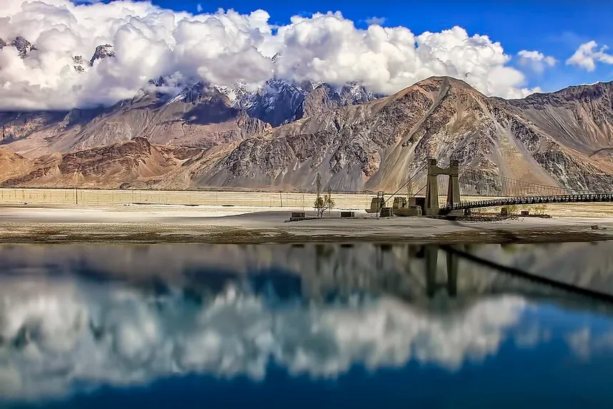
Frontier Trans-Himalayan Highway into Ladakh Trans-Himalayan Frontier Highway into Ladakh
High-altitude mountain circuit traversing the Pir Panjal and Great Himalayan ranges into Ladakh.
Trans-Himalayan Circuits

Planning a road trip from Delhi to Leh Ladakh? Travelers have two legendary overland highway routes spanning high mountain passes, cold deserts, and emerald river canyons:

Route 1: Delhi ➔ Manali ➔ Leh (NH-3)

Pangong Tso & Ladakh High Lakes 📷 Pangong Tso & Ladakh High Lakes
Deep turquoise alpine lake at 14,270 ft in the cold desert plateau.
~950 KM

Total Distance: 950 km • Drive Time: 2 to 3 Days.
Route: Delhi ➔ Chandigarh ➔ Bilaspur ➔ Mandi ➔ Manali ➔ Atal Tunnel ➔ Keylong ➔ Jispa ➔ Sarchu ➔ Tanglang La (17,480 ft) ➔ Leh.

💡 Acclimatization Tip: Night halt recommended at Jispa (10,500 ft) or Keylong to prevent High Altitude Pulmonary/Cerebral Edema before crossing high passes.

Route 2: Delhi ➔ Srinagar ➔ Leh (NH-44 + NH-1)
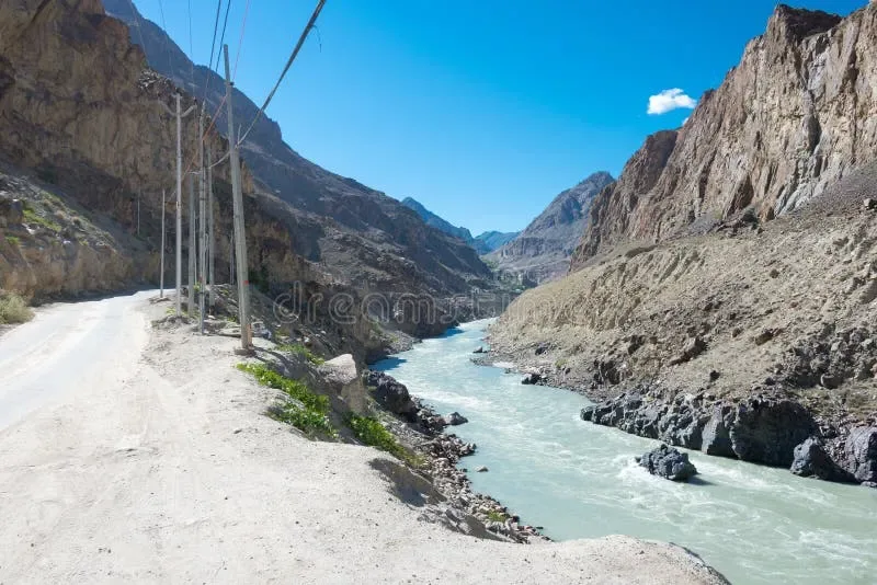
Kargil Indus Valley Corridor towards Leh Kargil Indus Valley Flank towards Leh
Strategic NH-1 corridor skirting the Indus river gorges between Kargil and Leh.
~1,230 KM

Total Distance: 1,230 km • Drive Time: 3 to 4 Days.
Route: Delhi ➔ Ambala ➔ Jammu ➔ Patnitop ➔ Srinagar ➔ Sonamarg ➔ Zoji La Pass (11,575 ft) ➔ Dras ➔ Kargil ➔ Lamayuru ➔ Leh.

💡 Gradual Altitude Gain: Best for first-timers; gentle elevation rise via Kashmir valley gives the smoothest natural acclimatization curve.

Delhi ➔ Leh (via Manali)

Highway
NH-44 + NH-3
Distance (km)
950 km
Key Mountain Passes / Landmarks
Atal Tunnel, Baralacha La, Nakee La, Lachung La, Tanglang La

Delhi ➔ Leh (via Srinagar)

Highway
NH-44 + NH-1
Distance (km)
1,230 km
Key Mountain Passes / Landmarks
Banihal Tunnel, Dal Lake, Zoji La Pass, Kargil War Memorial, Fotu La

Srinagar ➔ Leh

Highway
NH-1
Distance (km)
420 km
Key Mountain Passes / Landmarks
Sonamarg, Zoji La, Dras, Kargil, Namika La, Fotu La, Lamayuru

Manali ➔ Leh

Highway
NH-3
Distance (km)
430 km
Key Mountain Passes / Landmarks
Atal Tunnel (9.02 km), Keylong, Sarchu, Gata Loops (21 hairpin bends), Tanglang La

Leh ➔ Nubra Valley (Hunder)

Highway
Khardung La Road
Distance (km)
160 km
Key Mountain Passes / Landmarks
Khardung La Pass (17,982 ft), Diskit Gompa, Hunder Sand Dunes

Leh ➔ Pangong Tso (Spangmik)

Highway
Chang La Road
Distance (km)
160 km
Key Mountain Passes / Landmarks
Chang La Pass (17,688 ft), Tangtse, Lukung, Spangmik
⚠️

Critical Landslide & Shooting Stone Caution Zones (NH-44 Ramban Sector)
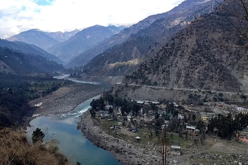
NH-44 Strategic Mountain Highway 📷 NH-44 Strategic Mountain Highway
Vital all-weather corridor connecting Jammu and Srinagar through high tunnels.

Commuters are strictly advised to maintain speed discipline, avoid stopping near cliff edges, and obey traffic marshals at these sensitive stretches:

🛑 Mehar • Cafeteria Morh (KM 148) 🛑 Panthyal • Magarkote (KM 162) 🛑 Battery Cheshma (KM 155) 🛑 Dalwas Sinking Zone (KM 132)
📞 24x7 Emergency Contact Directory

Official J&K Traffic Police Control Room Helplines

Always call the nearest Traffic Control Room (TCR) before embarking on your journey through high-altitude passes.

TCR Jammu (City & Highway)
Mobile: 9419147732
TCR Ramban (NH-44 Sector)
Control: 01998-266686
TCR Srinagar (Valley Central)
Toll-Free: 1800-180-7091
TCR Udhampur (Jakheni Cut-Off)
Control: 01992-276915
TCR Kargil (Zojila / Ladakh)
Sonamarg: 0194-2416200
TCR Rajouri & Poonch (Mughal Road)
Shopian: 01933-261224

High-Altitude Highway Travel FAQs & Winter Advisory
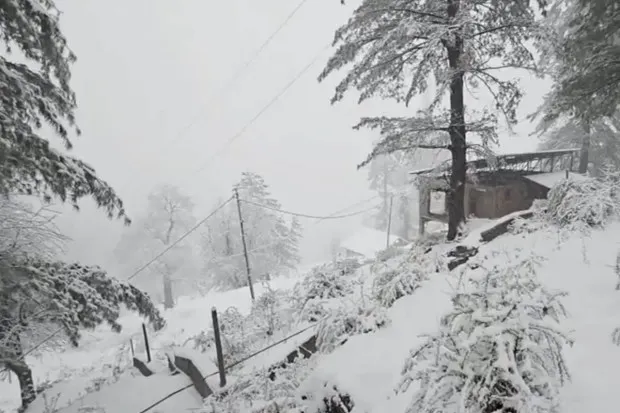
Snowbound Himalayan Landscapes 📷 Snowbound Himalayan Landscapes
Winter snow cover transforming mountain slopes and pine canopies.
What are the standard convoy timings for Jammu to Srinagar on NH-44?

When one-way traffic is declared from Jammu towards Srinagar, light motor vehicles (LMVs) typically pass the Nagrota check-post between 06:00 AM and 11:30 AM, and Jakheni Udhampur before 01:00 PM under standard traffic orders. Timings vary daily based on road clearance and weather; always confirm with TCU Jammu or TCU Ramban before setting out.

Is Mughal Road safer than NH-44 during monsoon?

Mughal Road connects Bafliaz (Poonch) to Shopian through Pir Ki Gali. While it bypasses the Ramban landslide corridor of NH-44, it rises to 11,400 ft and may experience sudden dense fog or black ice during early morning and late evening hours.

When does Sinthan Top and Zojila Pass close for winter?

Sinthan Top and Zojila Pass typically experience heavy snowfall between late November and mid-April. BRO (Border Roads Organisation) deploys high-powered snow cutters to keep passes operational as long as weather permits.

🏛️ Official Data Sources & Fact-Checking Transparency
Public Domain & Statutory Archives

All historical, demographic, examination, and geographic records across this portal are compiled from public domain repositories, including the Official Gazette of India (egazette.nic.in), Census of India Demographic Data, India Meteorological Department (IMD), and statutory notifications issued by the J&K Administration & Examination Boards.

🛡️ Editorial Policy: Academic Non-Affiliation Guidelines 📬 Grievance & Corrections: Editorial Review Desk ⚖️ License: Open Public Research (CC-BY-NC 4.0)
Live Highway Radar · Nodal Protocol

NH-44 Jammu-Srinagar Highway Travel Advisory & Landslide Vulnerability Zones

National Highway 44 (NH-44) is the 270-km sole all-weather arterial highway connecting Jammu with Kashmir Valley. Traffic movement is strictly regulated by Traffic Police J&K via dedicated Traffic Control Units (TCU Jammu: 0191-2459048, TCU Ramban: 9419993745, TCU Srinagar: 0194-2450022). The 35-km sector between Ramban and Banihal represents the highest landslide vulnerability zone during heavy rains and western disturbances.

NH-44 Critical Sectors, High-Altitude Tunnels & Bypass Corridors

1. Chenani-Nashri Tunnel (Dr. Syama Prasad Mookerjee Tunnel)

Length: 9.28 km. India's longest bi-directional road tunnel, bypassing 31 km of treacherous hairpin bends across Patnitop, Kud, and Batote at 4,000 ft altitude.

2. Ramban-Banihal Landslide Sector & T5 Panthyal Tunnel

Incorporates Mehar, Cafeteria Morh, Marog, and the newly operational T5 tunnel at Panthyal, which bypasses the historically notorious shooting-stone stretch at Panthyal. However, nearby active geological zones such as Mehad, Cafeteria Morh, Dalwas, and Hingni remain subject to rockfalls and mudslides during heavy rain.

3. Banihal-Qazigund Navyug Tunnel

Length: 8.45 km dual-tube tunnel. Replaces the aging Jawahar Tunnel (2,194m), reducing travel time across the Pir Panjal mountain barrier from 1.5 hours to merely 15 minutes.

Frequently Asked Questions: J&K Highway monitoring updates & Road Travel

How can I verify if the Jammu-Srinagar NH-44 highway is open?

Contact Traffic Control Unit (TCU) Ramban at 9419993745 or TCU Jammu at 0191-2459048 before embarking. You can also view live status updates and travel alerts directly on harshya.in/highway_status_radar.

When is the alternate Mughal Road open for vehicular traffic?

The 84-km historic Mughal Road connects Bafliaz (Poonch) in Jammu Division with Shopian in Kashmir Division via the 11,500-ft Pir Ki Gali pass. It operates seasonally from May to November and closes during winter due to heavy snowfall and ice accumulation.

Are tire snow chains mandatory during winter road journeys in J&K?

During snowfall, district administrations make anti-skid tire snow chains mandatory for all vehicles travelling between Tangmarg and Gulmarg, on the Jawahar Tunnel / Banihal pass approaches, and across the Sinthan and Mughal Road corridors.

Topical Knowledge Graph

Explore Connected Knowledge Clusters

Explore Reviewed research dossiers, real-time radars, district gazetteers, and civil service vaults across Jammu, Kashmir & Ladakh.

Travel & Tourism Circuit

20-district travel itineraries, live Gondola booking, snowfall radars, and alpine lake trekking.

Exams, Recruitment & Vault

JKPSC KAS, JKSSB, SSC exams, cutoff marks, 1,177 Solved MCQs, and official gazettes.

Geography, Districts & Hydrology

Physical topography, 20-district gazetteer, river basins, lithium reserves, and demographic data.

History, Culture & Dynasties

5,000-year timeline from Kalhana's Rajatarangini to Dogra Kingdom, Article 370 & culinary arts.

Governance & Citizen Services

UT administrative framework post-2019, LG Secretariat, welfare schemes & citizen procedures.

Regional Advisories & Civic Utilities

Real-time NH-44 highway status, snowfall advisories, Jhelum flood gauges & public tools.

Explore Related Jammu & Kashmir Knowledge Clusters

Cross-Topic Navigation
📜 5,000-Year History & Dogra Dynasty 🗺️ 20 Districts & Geospatial River Maps 🎓 JKSSB & JKPSC Exam Preparation Hub 🏔️ Gulmarg Gondola & Alpine Treks 🛕 Mata Vaishno Devi & Pilgrimage Guide 🍲 36-Course Kashmiri Wazwan Atlas 🧶 GI Crafts, Pashmina & Artisans 💼 HADP Agriculture, Saffron & Economy 🏛️ GAD Official Directory & Helplines 📜 UT Welfare Schemes & Jan Sugam 📊 20-District Demographics & Census 📑 Master Topic Index & Directory
🚗 Live Transit Radar

NH-44 Mountain Highway Distance, Transit Times & Fastag Toll Calculator

Reviewed NHAI & TCU Ramban Rates

Calculate official point-to-point highway distances, estimated driving durations via Chenani-Nashri & Navyug Tunnels, and Fastag electronic toll rates:

Highway Distance
260 KM
Estimated Drive Duration
5h 30m
Fastag Toll Cost
₹ 385
🚨 Life-Safety Transit Protocol

Official Traffic Control Authorities, monitoring updates Lineage & Safety Disclaimer

✓ Official TCU Helplines & Field Stations

Crucial Traveler Advisory: Harshya is an educational and reference platform. We do not operate roadside physical sensors or automated barrier gates. Due to rapid Himalayan weather changes, shooting stones, and cloudbursts, road clearance fluctuates hourly. Always call the official Traffic Control Units (TCUs) below before embarking on NH-44, Mughal Road, Sinthan Top, or Zojila Pass:

1. TCU Ramban (NH-44 Critical Sector)

Phone: 94199-93745 / 01998-266686
Monitors: Mehar, Cafeteria Morh, Panthyal, Battery Chashma, Khooni Nallah & Banihal sectors.

Authority: J&K Traffic Police (NHW)

2. TCU Jammu & TCU Srinagar

TCU Jammu: 0191-2459048 / 94191-47732
TCU Srinagar: 0194-2450022 / 0194-2485396

Authority: City & Highway Traffic HQs

3. Border Roads Organisation (BRO)

Project Beacon: Kashmir & Zojila Pass clearance operations.
Project Sampark: Jammu, Pir Panjal & border highway engineering.

Authority: Ministry of Defence / BRO

4. Meteorological & Highway Authorities

NHAI RO Jammu: National Highway 44 4-laning & toll governance.
IMD Srinagar / Jammu: Weather warnings, avalanche alerts & precipitation forecasts.

Authorities: NHAI & India Meteorological Department
Official Data Source Lineage: Corridor parameters, tunnel elevations, and distances are benchmarked against official NHAI National Highway manuals, BRO clearance bulletins, and published J&K Traffic Police traffic advisories.