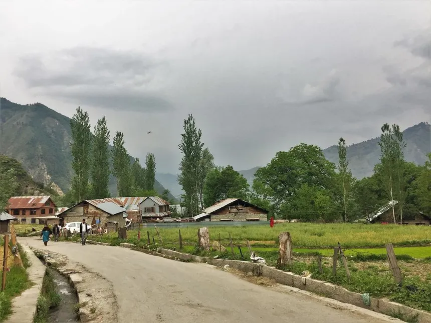
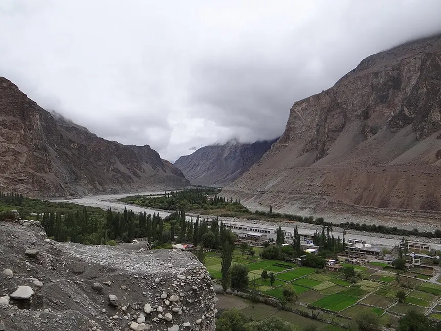
1. The Indus Flank • Kargil District (LoC)
Batalik Sector: The Indus River Sandwiched Between Border Heights
Distance: ~55 km from Kargil Town
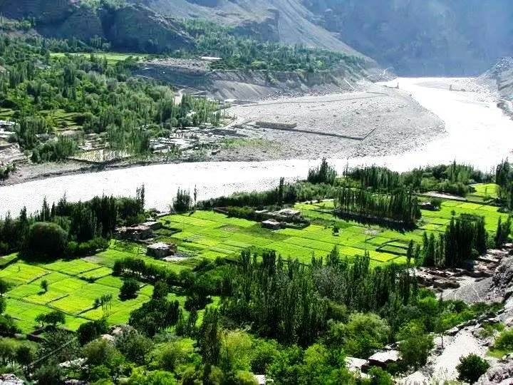
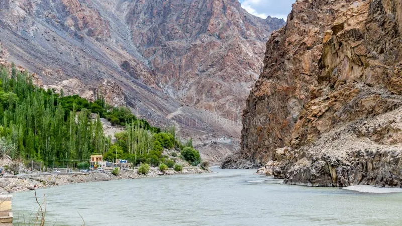
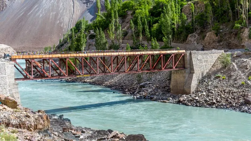
The Batalik sector in Kargil district lies along the historic Indus River valley, situated right against the Line of Control (LoC). While the Indus flows through Indian territory here, the towering high mountains on the right flank (North/West) are held by Pakistan.
🔭 What You See:
Visitors can observe the Indus River flowing downstream directly towards Pakistan, with Pakistani military posts clearly visible on the towering glaciated peaks immediately surrounding the river gorge.
🎖️ Historic 1999 Battleground:
Batalik was one of the most critical battlegrounds during the 1999 Kargil War (Jubar Ridge, Point 4812, Khalubar). The valley demonstrates how the Indus is geographically "sandwiched" between Indian and Pakistani heights.
🌿 Aryan Valley Heritage:
Home to the ancient Brokpa / Dard Aryan villages of Dha, Hanu, Garkon, and Darchiks, preserving distinct customs, floral headgear, and Indo-Aryan linguistic heritage along the Indus banks.
2. Premier International Border Post • Jammu District
Suchetgarh (RS Pura): The Best Viewpoint on the International Border
Distance: 28 km from Jammu City
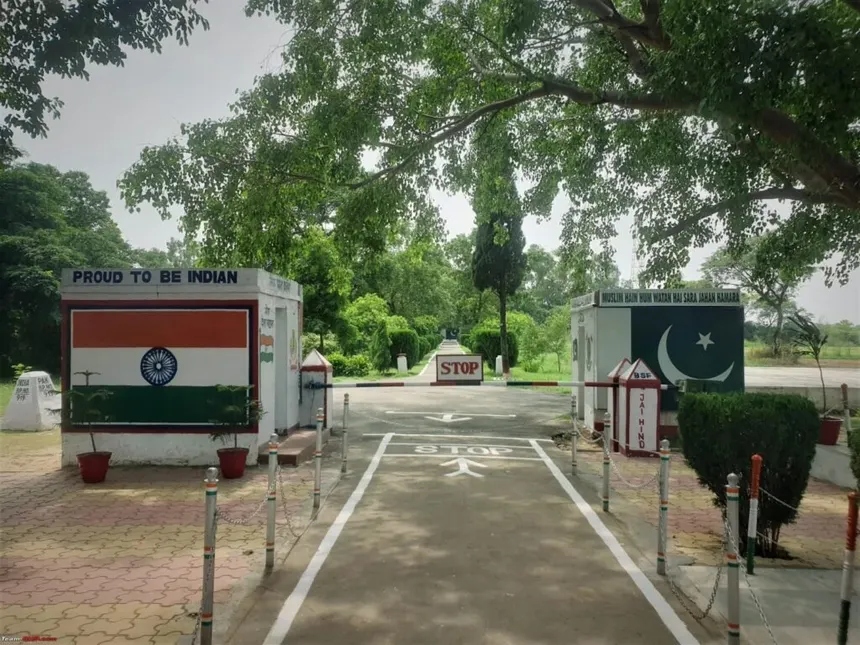
Located just 28 km from Jammu city in the RS Pura sector, Suchetgarh is the most accessible spot on the entire International Border (IB). Features a 100-year-old Banyan tree standing on the Zero Line with branches in both countries, view of Sialkot (11 km away), and the daily BSF retreat ceremony.
3. Closest Village-to-Village View • Karnah Valley (Kupwara)
Teetwal: The Village-to-Village Border with Chilhana (PoK)
Distance: ~160 km from Srinagar
The narrow Kishanganga (Neelum) River separates the Indian village of Teetwal from the Pakistani village of Chilhana. Houses on both banks are so remarkably close that visitors can hear sounds, Azan calls, and people talking from across the border. Features the reconstructed Mata Sharda Devi Temple and Gurdwara.
4. Northernmost Frontier • Nubra Valley (Ladakh)
Turtuk & Thang: Closest View of the Indus in Pakistan-Occupied Baltistan
Distance: ~205 km from Leh
From the high ridges of Turtuk and the forward border village of Thang, you can clearly see where the Shyok River merges with the Indus River just a few kilometers away in Pakistan-administered Baltistan, overlooking the Pakistani villages of Khaplu and the Chorbat Valley.
5. Frontier Crossings • Kupwara & Poonch
Keran Valley (River Border) & Chakan Da Bagh (Poonch LoC Trade Gate)
In Keran Valley, the Kishanganga river is the sole unfenced border overlooking the Pakistani village of Sharda in Neelum Valley. At Chakan Da Bagh (Poonch), tourists look directly across into Tatrinote in Pakistan-administered Kashmir, visiting the designated crossing point for cross-LoC trade and official military flag meetings.